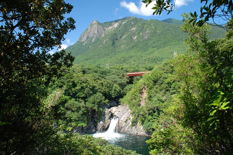
Mt. Mocchomu
| Mt. Mocchomu | |
|
Starting point for trekking… Mocchomu-dake Mountain Trail Entrance (Senpiro Waterfall Viewpoint)
Mt. Mocchomu, over 3 hours from the trail entrance at the Senpiro Waterfall Viewpoint, is located in the southern part of the island and can be seen from the villages of Hara and Onomaida. It is a very uniquely shaped mountain that has an exposed granite surface. Because of its appearance, Mt. Mocchomu, at a height of 940 meters, is called the Matterhorn of the East. |
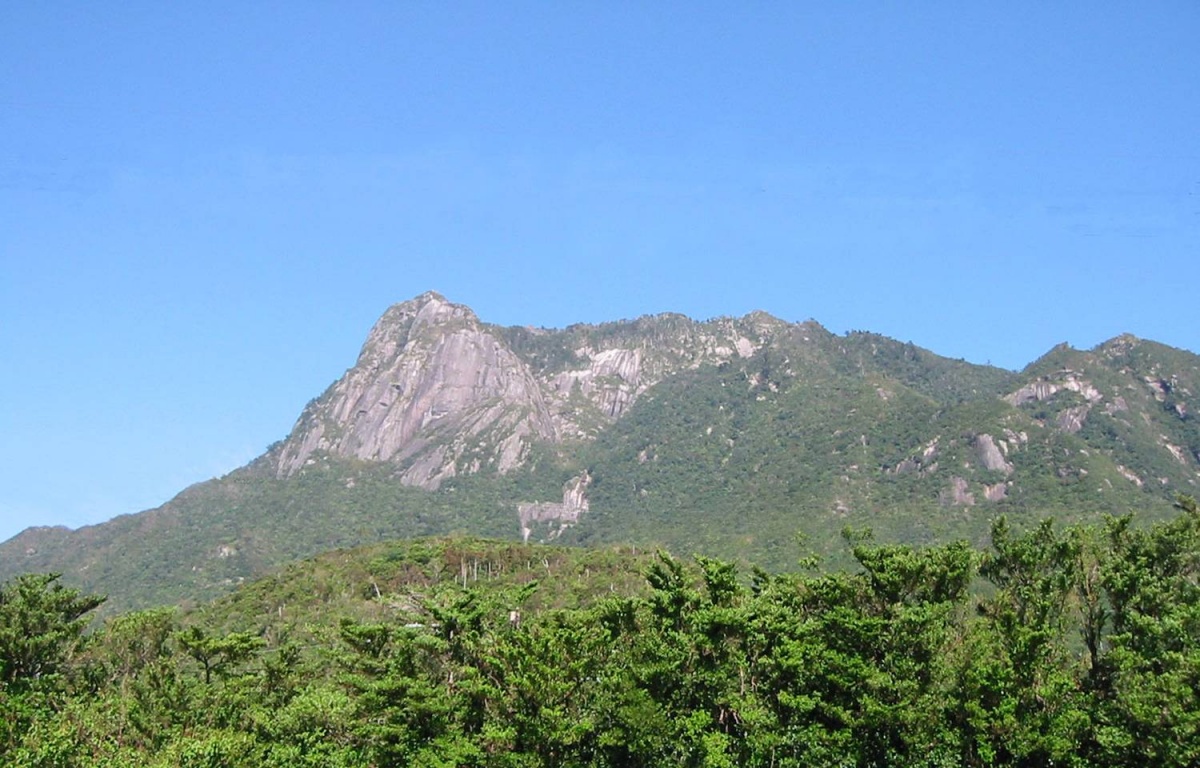 <Mt. Mocchomu > |
| →→→ MAP ←←← | |