|
LOCATION… 2 hours from the entrance of Shiratani Unsuikyo Ravine
/ 11.5 km from Miyanoura port (24 min. by car)
/ 28.5 km from Anbo port (44 min.by car)
NEAREST BUS STOP… No.29 Shiratani Unsuikyo bus stop
(It is located in front of the entrance)
Altitude…1,050 meters
Admission fee…500 yen for high school students and up
Facilities…Restrooms and parking lot (50 cars)
Course…Taikoiwa course (5.6km/a 4 hour hike)
☝After a heavy rain, the creeks will be swollen and very dangerous. For your safety we recommend waiting until creeks are safe to cross.
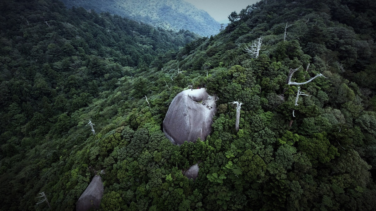
Taikoiwa Rock is a granite boulder located at a height of 1,050 meters in Shiratani Unsuikyo Ravine. You can see many yakusugi cedar trees and a forest covered with deep green moss on the Taikoiwa Round trip Course. On a clear day, you can have a spectacular panoramic view from the boulder. The boulder gives a great view of the Okudake Mountains including Kyushu’s highest mountain, Mt. Miyanoura.
|
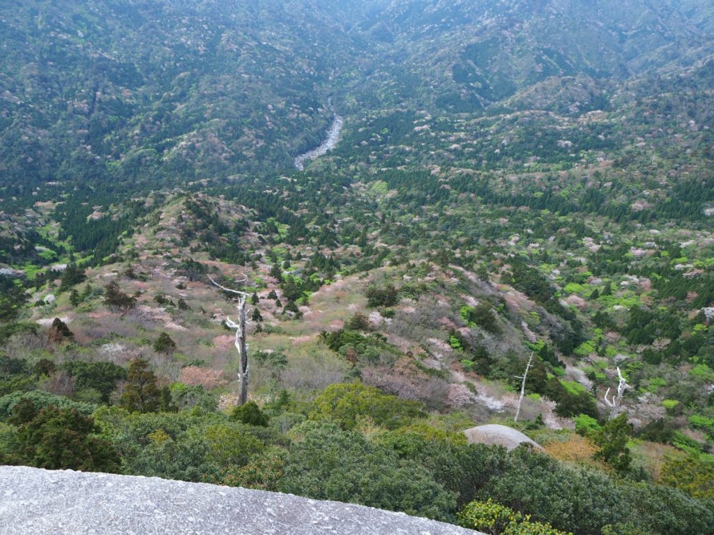
<Cherry blossom seen from Taikoiwa Rock during spring>
|