Mountaineering
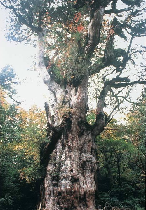
| 【Jomonsugi cedar】 | |||
|
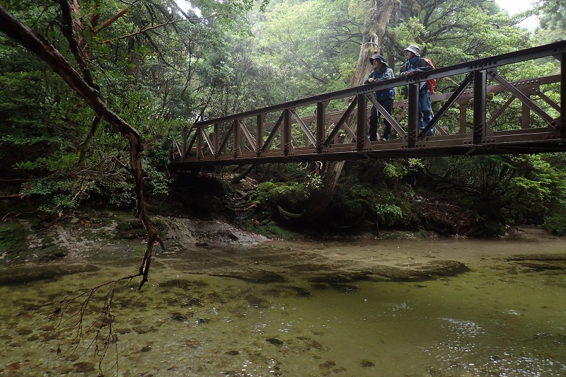
TIME………………………….10-12 hours round trip ● Started from Arakawa Trail Entrance and walking through on the trolley railroad, which was used in the massive logging period, for 2 to 2 hours 30 minutes, then 1 hours 30 minutes to 2 hours walk on the mountain trail
● People who start climbing from Arakawa Mountain Trail Entrance have to use the Arakawa Mountain Bus during the traffic regulations period (from March 1 to November 30). ※ Charter buses and taxis can go through this route |
|
||
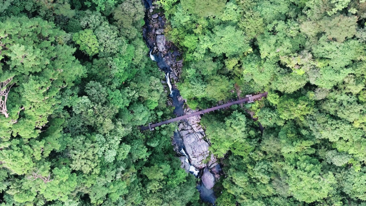
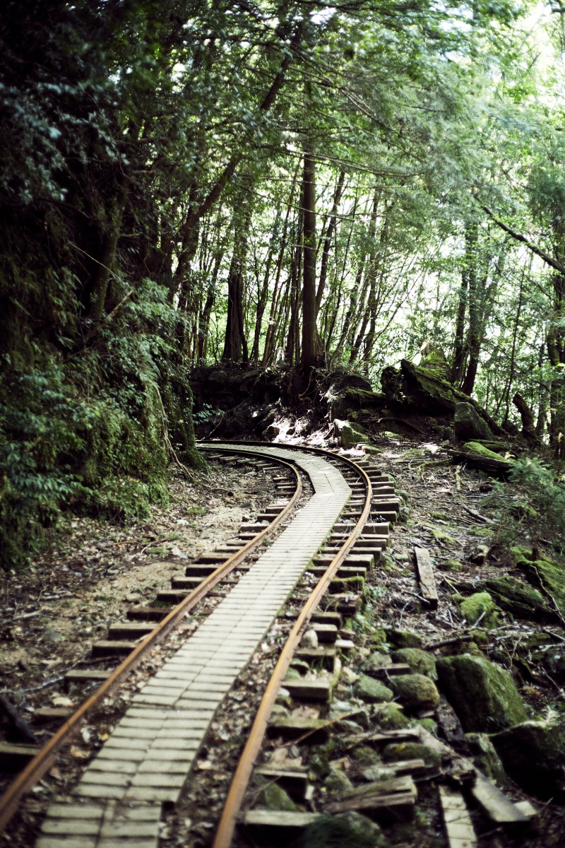 <Trolley railroad> |
|
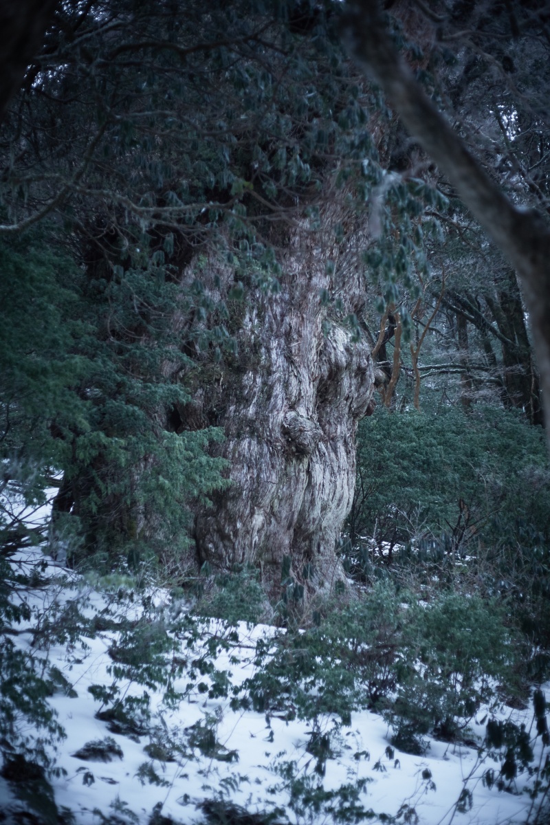
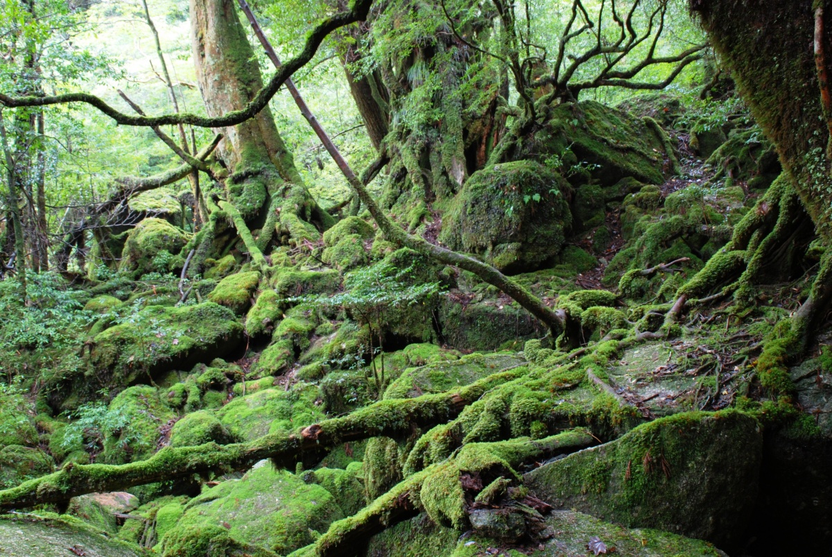
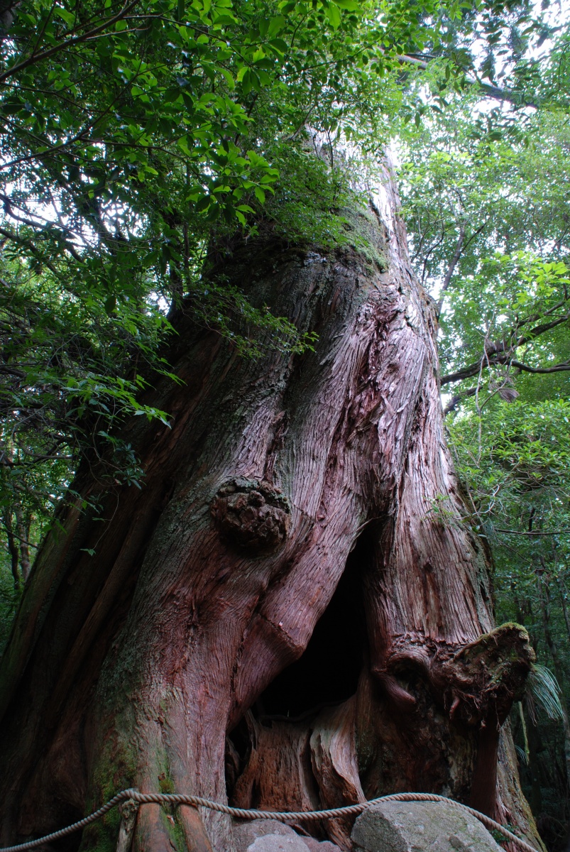
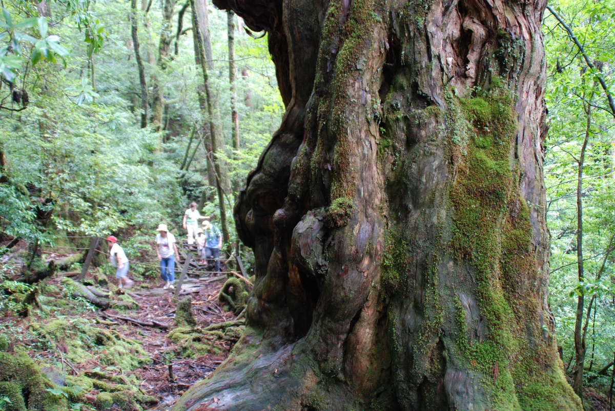
You can walk through a pristine stream, mountain ridge, coniferous and a moss carpeted forest. “Wilson’s Stump” (cut down around 400 years ago) and “Daiosugi cedar” (presumed 3000 years old) can be seen on the route. |
|
 <Wilson’s Stump> |
 <Meotosugi cedar> |
||
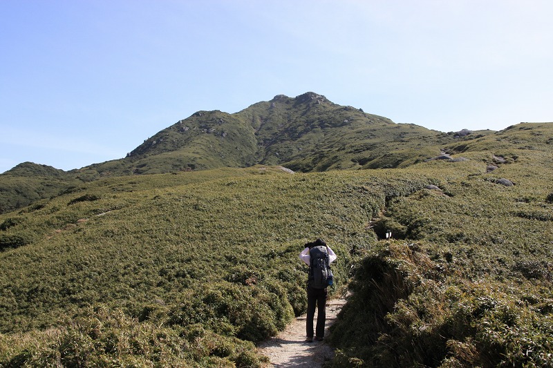
| 【Mt. Miyanoura】 | |||
|
TIME………………………….10-12 hours round trip DISTANCE………………….about 13 km round trip LEVEL of DIFFICULTY…★★★★ ● Started from Yodogawa Trail Entrance and walking through the mountain trail
|
|
||
 <Yodogawa River> |
 <Kohananoego> |
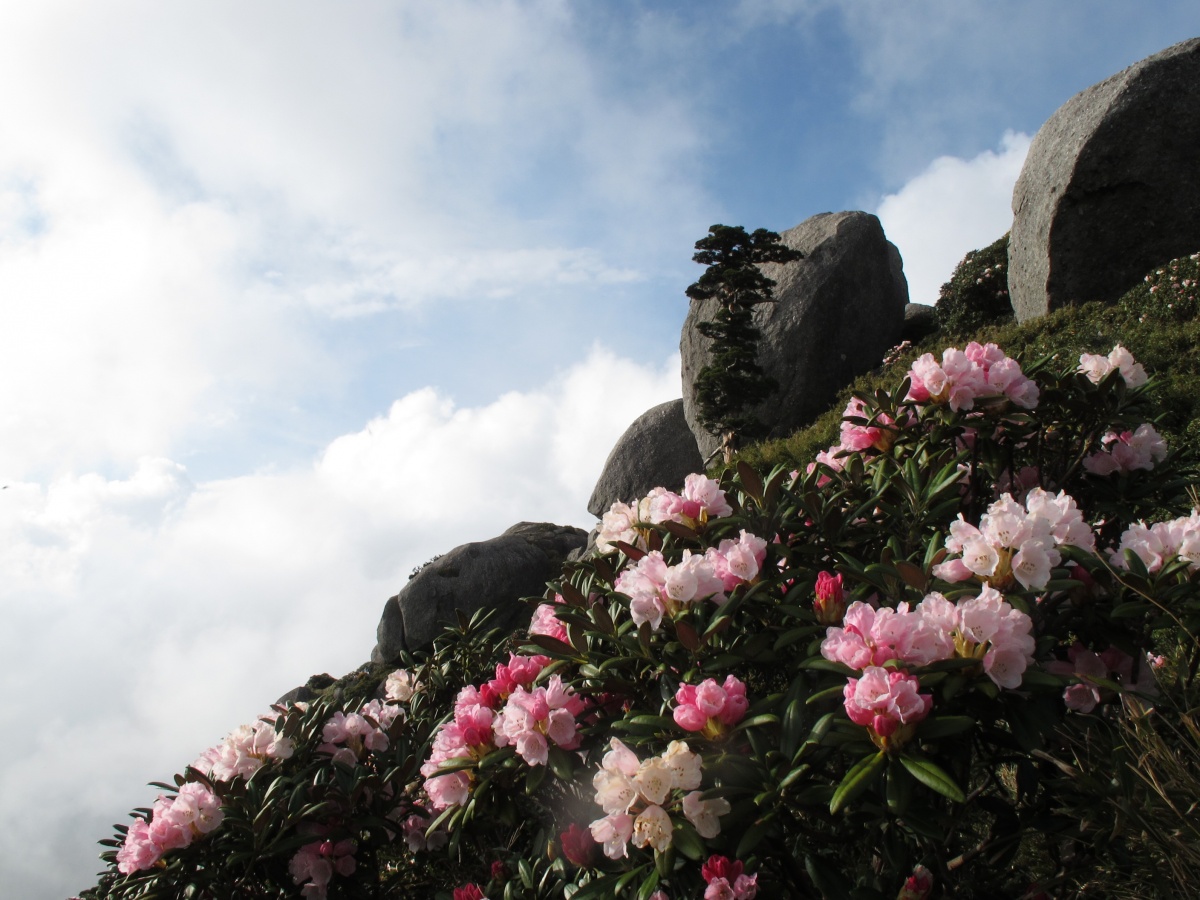 <Yakushima rhododendron> |
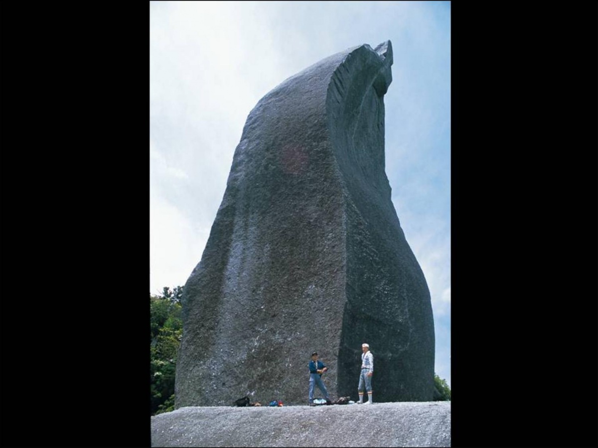
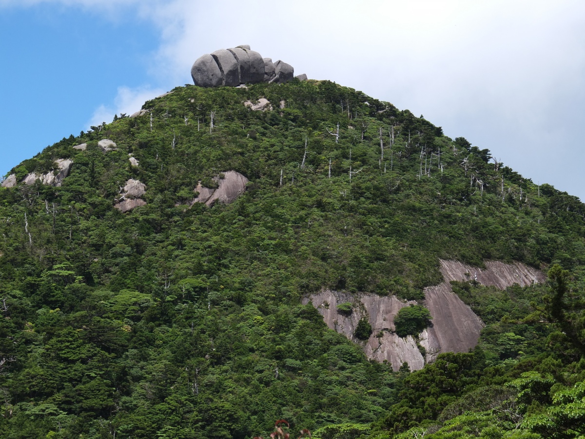 <Tofu-iwa Rock on Mt. Koban> |
| 【Shiratani Unsuikyo Ravin】 | |||
|
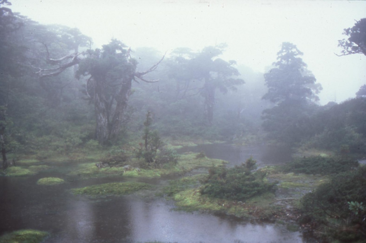
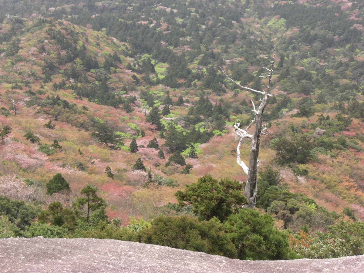
LOCATION………10 km from Miyanoura (22 min. by car) TRANSPORTATION… Local buses running 7 times a day ADMISSION FEE……500 yen per person COURSES… Yayoisugi cedar course (2 km/an hour hike) Bugyosugi cedar course (4 km/a 3 hour hike) Taikoiwa Rock course (5.6 km/a 4 hour hike) URL………… http://y-rekumori.com/ Shiratani Unsuikyo Ravine is a nature park situated at a height of 600 to 1,200 meters covering an area of 424 hectares. There are three hiking courses you can choose from according to its level of difficulties and times. Shiratani Unsuikyo Ravine with its picturesque streams, moss covered forests as setting for “Princess Mononoke” movie, and marvelous view overlooking the mountain ridge stretches out from the top of Taikoiwa Rock are magnificent. * A route to Mt. Miyanoura, the highest mountain in Kyushu, by way of Tsujitoga pass, Wilson stump, Daiousugi cedar, and Jomonsugi cedar is accessible within the park. |
|
||
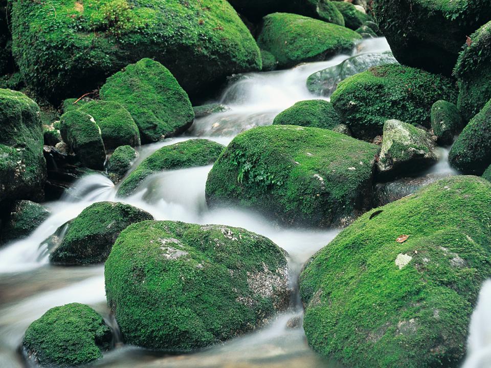
<Shiratani River> |
 <Shiratani River> |
 <A view from Taikoiwa Rock> |
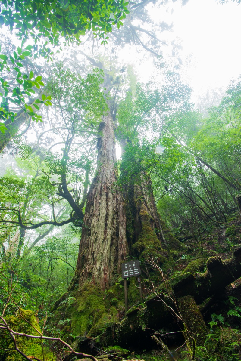
 <Nidaiosugi cedar in Bugyosugi cedar course> |
| 【Yakusugi Land】 | |||
|
LOCATION…………… 16 km from Anbo (30 min. by car) TRANSPORTATION… Local buses running 2 times a day ADMISSION FEE…… 500 yen per person COURSES… 30-minute course (0.8 km) 50-minute course (1.2 km) 80-minute course (2.0 km) 150-minute course (3.0 km) 210-minute course (4.4 km) URL…………… http://y-rekumori.com/ |
|
||
| Yakusugi Land is spreading over an area of 270 hectares and at altitudes around 1000 to 1300 meters. There are five trail courses you can choose from according to the level of difficulties and lengths. You may experience up-close the cyclic mechanism of the forest and come to know its history and people. | |||
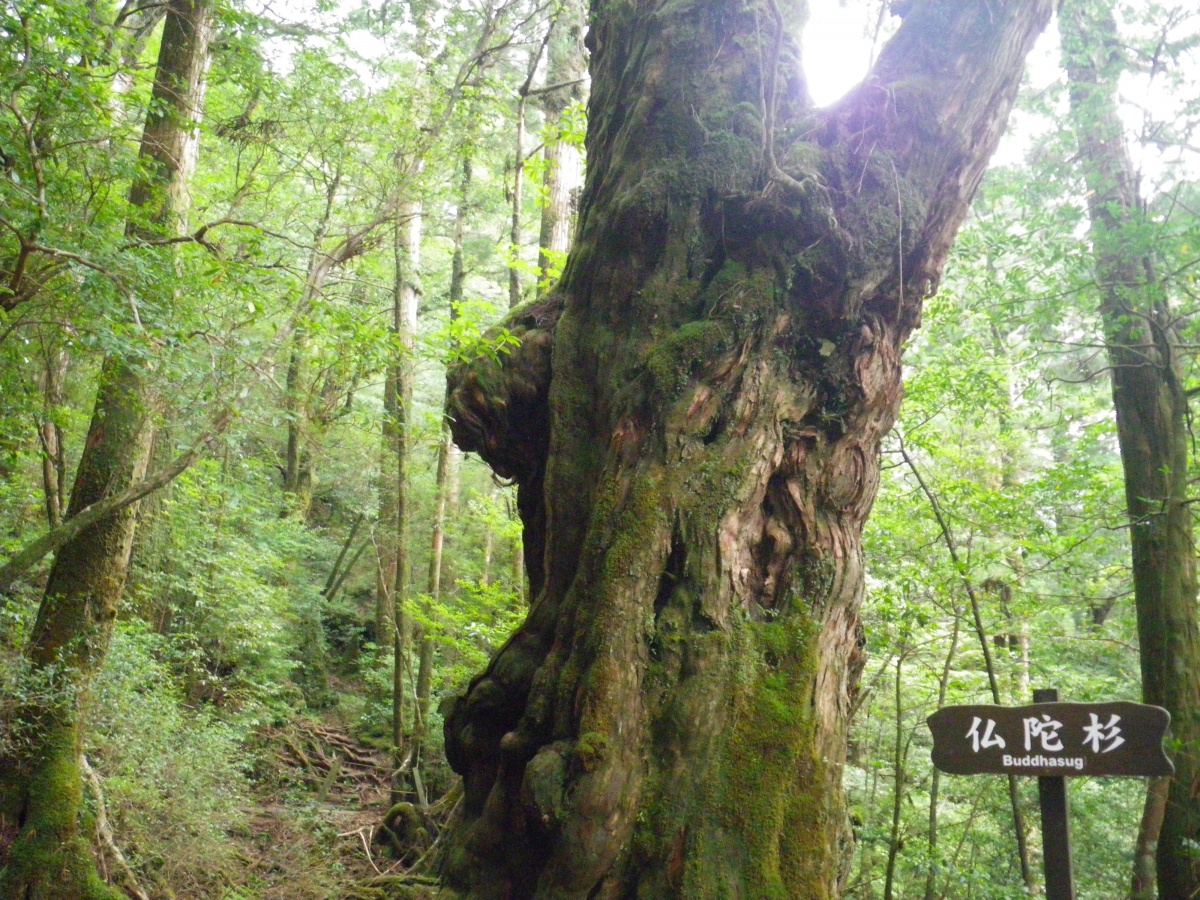 <Buddhasugi cedar> |
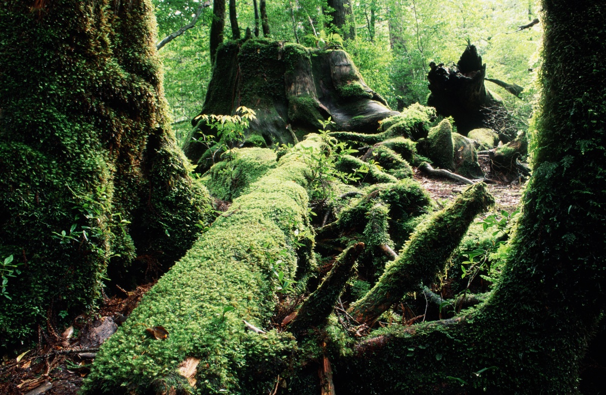 <Remnants of Yakusugi cedars> |
 <Hahakosugi cedar> |
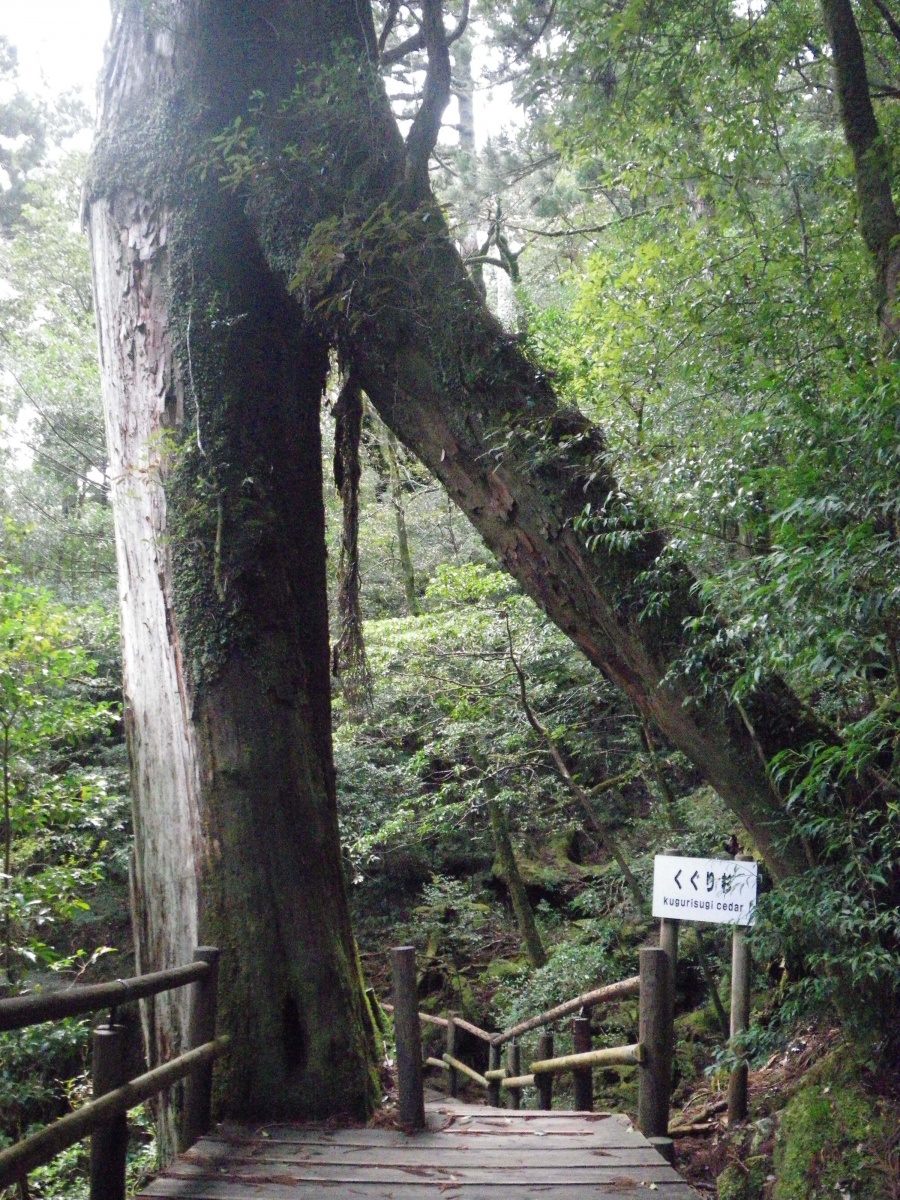 <Kugurisugi cedar> |
| 【Mt. Tachud】 | |
|
ALTITUDE…………………. 1497 m
● Walk through Yakusugi Land and walk on the mountain trail.
You can see one of a distinguished yakusugi cedar called “Syaka-sugi cedar” (presumed 2000 years old) in conifer forest zone and you may feel the great yakusugi forests atmosphere. |
 Tenchuseki Rock (on Mt. Tachu) |